Maps
VISIT CYPRUS - CITY TOUR MAP
LARNAKA THEMATIC MAP
LARNAKA CULTURAL WALK (city centre and promenade)
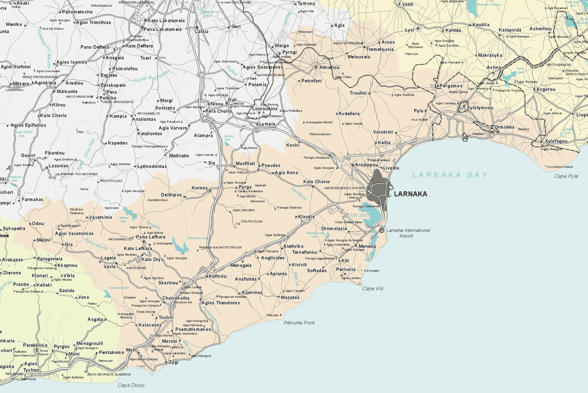
REGIONAL MAP
LARNAKA VIRTUAL MAP (360 Cultural Walk)
Start your tour here.
LARNAKA STORYTELLING STATUES TRAIL MAP
Trail hunt map to find the city’s narrated statues and learn their history in an interactive way.
1) Printable version (home printing), double sided, folded souvenir flyer with boxes to tick: Inside here / Cover here.
2) Online map for viewing on a device here.
*please note that the statue of Michalis Kashalos (number 8 on map) has been moved to Larnaka Municipal Park Gardens.
LARNAKA MARINE PROTECTED AREA (MPA) MAP
LARNAKA INTERACTIVE MAP
The interactive map is an action under the Measure 19-Leader that is managed by the Local Action Group Larnaca and Famagusta Districts Development Agency. It is funded by the European Agricultural Fund for Rural Development by 53% and by National Resources by 47%.
LEADER is an initiative of the European Union through which rural actors join forces and create the Local Action Groups (LAGs) that implement integrated local development strategies to strengthen growth in their regions. The LEADER initiative was first implemented in Cyprus during the programming period 2007-2013 and is continuing in the current programming period 2014-2020. The Local Development Strategy of the Local Action Group of Larnaca and Famagusta Districts Development Agency aims at a 'Cooperation for creating self-sustaining, diversified, vibrant rural areas, that will attract people for work, habitation, and visit'.
